
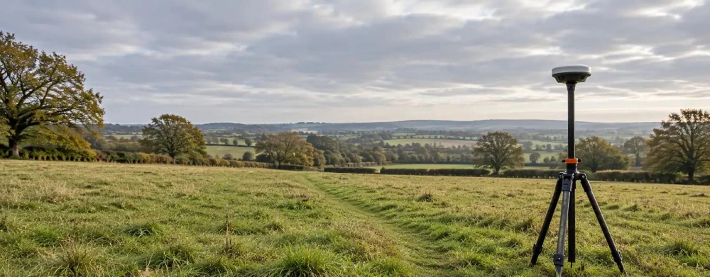
Topographical Surveying in West Ealing
Get a Free Topographical Survey QuoteAt GroundSight Surveys, we specialise in topographical surveying in West Ealing, providing detailed and accurate land assessments. This service maps the natural and manmade features of an area, such as elevations, structures, and utilities, to guide development projects.
Our expert team employs advanced surveying equipment and technology to capture precise data across various terrains. Operate with confidence as we cover West Ealing and the surrounding W13 0 postcode area.
Contact us today for a reliable topographical survey in West Ealing.
What Is Topographical Surveying?
Topographical surveying is the process of mapping the contours, elevations, and features of a land area. At GroundSight Surveys, we use this technique across West Ealing to gather essential data for construction, planning, and land management.
Using advanced equipment such as theodolites, GPS systems, and total stations, we collect precise measurements that detail the land's natural and human-made elements, like hills, rivers, roads, and buildings. Our surveys often comply with national standards such as the RICS specification for surveys, ensuring accuracy and reliability.
We prepare detailed topographical maps and digital elevation models (DEMs), aiding architects, engineers, and developers in designing projects that harmonise with the existing landscape. By understanding these elements, professionals can optimise site layouts, mitigate environmental impacts, and enhance project feasibility.
Get in touch with us to discuss your project requirements.
How Much Does Topographical Surveying Cost in West Ealing?
Topographical surveying typically costs between £300 and £700 per survey in West Ealing. At GroundSight Surveys, the price depends on several factors, including the size and complexity of the site, the level of detail required, and any specific challenges such as dense vegetation or difficult access points.
For instance, large commercial properties and historic sites may require more extensive surveying methods like LiDAR scanning or GNSS positioning to achieve accurate results. Our team also considers the necessary compliance with industry standards such as the RICS guidelines to deliver precise measurements.
Additionally, urgent projects or those requiring multi-day onsite work may influence the cost. We provide transparent pricing and detailed estimates to ensure there are no surprises.
Contact us for a personalised quote to meet your needs.
Why Choose GroundSight Surveys for Topographical Surveying in West Ealing?
At GroundSight Surveys, we offer precise, reliable, and professional topographical surveying in West Ealing. Our experienced surveyors use state-of-the-art equipment like total stations and GPS technology to deliver accurate results.
We are committed to quality and customer satisfaction, tailoring our services to each project's unique demands. Our attention to detail and dedication to seamless project execution make us a preferred choice for clients in the W13 0 area.
What Types of Topographical Surveying Are Available in West Ealing?
In West Ealing, we offer a variety of topographical surveying options to cater to different needs, each employing specialised techniques and tools:
Standard Surveys: Suitable for general planning and development, these surveys typically employ electronic distance measurement (EDM) equipment to capture essential site features and elevations.
Detailed Surveys: For projects requiring high precision, such as engineering or significant structural planning, we use total stations and GPS technology to provide exact measurements within centimetre-level accuracy, adhering to RICS standards.
Aerial Surveys: Using drones equipped with LiDAR sensors for large or hard-to-reach areas, these surveys deliver detailed digital terrain models and orthoimages, offering a broad overview quickly and efficiently.
Our surveys can be adjusted to meet specific project needs, such as land subdivisions or environmental assessments. Get in touch to discuss the best option for your project.
What Are the Benefits of Topographical Surveying in West Ealing?
Topographical surveying in West Ealing provides numerous benefits for various projects, from residential developments to large-scale infrastructure installations. Our surveys use advanced total stations and GPS to generate detailed 3D models of the terrain, which include contour lines and elevations critical for accurate planning.
Accurate Data: Assists in precise planning and decision-making by offering detailed site measurements and elevation data.
Identifies Risks: Highlights potential issues like flooding or unstable ground, enabling engineers to implement corrective measures early.
Improves Design Efficiency: Ensures designs are compatible with site conditions, reducing the likelihood of costly alterations during construction.
Legal Compliance: Guarantees adherence to planning requirements and land use regulations, as we ensure all surveys align with RICS and HSE standards.
The insights provided by our topographical surveys facilitate smoother project execution. Consider using GroundSight Surveys to facilitate your project and enhance its success.
Frequently Asked Questions
How often should I update my topographical survey?
It's advisable to update your topographical survey every five years or before any significant development in West Ealing. This ensures data remains current and relevant.
Do you provide digital survey outputs?
Yes, we provide digital outputs including CAD files and PDF formats, making it easy to integrate into your project planning and design processes.
What equipment do you use for topographical surveys?
We use modern equipment such as total stations, GPS systems, and drones. These tools ensure accuracy and efficiency, particularly on large or complex sites.
Can GroundSight Surveys handle large projects?
Absolutely. Our team is equipped to manage projects of all sizes, from small parcels of land to expansive regions across West Ealing.
Is topographical surveying affected by weather conditions?
While we aim for minimal disruption, severe weather can impact surveying efficiency. We account for potential delays and work diligently to maintain project timelines in West Ealing.
Get a Free Quote for Topographical Surveying in West Ealing
Contact GroundSight Surveys today to arrange your topographical surveying in West Ealing. For detailed information and a personalised quote, reach out to our expert team.
We cover West Ealing (Greater London)