
3D Laser Scanning Surveying in Hammersmith
Get a Free 3D Laser Scanning QuoteAt GroundSight Surveys, we specialise in 3D laser scanning surveying in Hammersmith. This advanced technique captures accurate and detailed data for various applications, from construction to heritage conservation.
By employing state-of-the-art laser scanners and technology, we offer high-resolution 3D models and comprehensive datasets. Our services extend across the W6 0 area, ensuring your project's requirements are met with precision and expertise.
Contact us today to request a survey or discuss your specific needs with our team.
What Is 3D Laser Scanning Surveying?
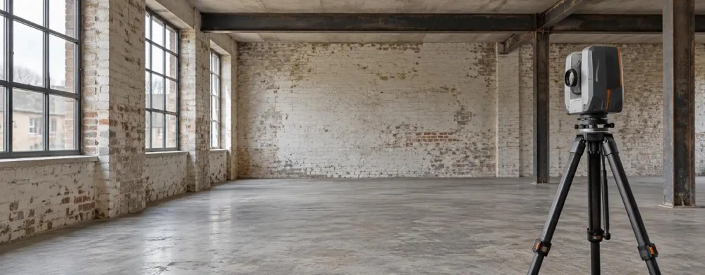
3D laser scanning surveying is a method that uses laser technology to capture precise spatial data of environments and objects. At GroundSight Surveys, we use this technique in Hammersmith to create accurate 3D models, aiding in construction planning, design, and heritage preservation.
Laser scanners emit light pulses to measure distances, capturing millions of points and creating a detailed point cloud.
These 3D models are incredibly useful for renovation projects, enabling us to compare current site conditions with digital plans to detect discrepancies. We typically use terrestrial laser scanners such as the Leica RTC360 or Trimble TX8, known for their speed and accuracy, capturing data with millimetre precision.
The process follows industry standards like PAS 1192 for BIM and allows integration with CAD software, offering architects and engineers crucial data to optimise designs and workflows. This data is invaluable for architects, engineers, and conservationists, offering comprehensive views and measurements of sites and structures.
Reach out to us to discuss your surveying needs in Hammersmith.
How Much Does 3D Laser Scanning Surveying Cost in Hammersmith?
3D laser scanning surveying typically costs between £1,500 to £3,000 per project in Hammersmith, depending on project size and complexity. Factors influencing the price include the survey area's size, the required resolution, and specific client requirements.
Additionally, the type of technology used can impact costs, as projects may require laser scanners with varying capabilities, such as terrestrial or mobile LiDAR systems. Advanced data processing software is often needed to convert raw scan data into usable formats such as CAD or BIM models, and this can also affect pricing.
Project timescales can influence costs too; expedited analyses might incur higher fees. Our team at GroundSight Surveys provides tailored quotes to suit individual needs.
Get in touch with us to receive an accurate estimate based on your project's unique specifications.
Why Choose GroundSight Surveys for 3D Laser Scanning Surveying in Hammersmith?
At GroundSight Surveys, we bring expertise and cutting-edge technology to every project in Hammersmith. Our commitment to accuracy and detail ensures that our 3D laser scanning services meet the highest industry standards.
We use advanced laser equipment, such as the Leica Geosystems scanners, known for their precision. Our scanners are capable of measuring up to one million points per second, capturing intricate details of complex structures with ease.
Our experienced surveyors understand the diverse applications of 3D data, leveraging its potential in fields ranging from construction to archaeology. We offer comprehensive solutions, including architectural floor plans and topographic surveys, helping clients tackle projects efficiently.
We adhere to the latest BIM (Building Information Modelling) standards, facilitating seamless integration with existing systems. Additionally, our point cloud data can support heritage conservation efforts, ensuring historical integrity in preservation projects.
Call us today to learn more about how we can assist with your project.
What Are the Benefits of 3D Laser Scanning Surveying in Hammersmith?
3D laser scanning surveying offers numerous benefits in Hammersmith, making it an excellent choice for various projects. This technology uses LiDAR sensors and laser-based scanners to collect millions of data points per second, enabling detailed digital representations of physical spaces.
Accuracy: Captures high-resolution data with millimetre precision, ideal for tasks requiring stringent tolerances, such as structural assessments or detailed preservation work.
Efficiency: Reduces time on-site compared to traditional methods, allowing projects to progress more rapidly by minimising the need for repetitive visits.
Versatility: Suitable for a wide range of industries, from construction to restoration, as well as applications in urban planning and infrastructure management.
Comprehensive Data: Provides detailed, comprehensive views and measurements, enabling accurate analysis and modelling while adhering to industry standards like PAS 1192-2 for BIM-ready projects.
Contact GroundSight Surveys to take advantage of these benefits.
Frequently Asked Questions
What Applications Are Suitable for 3D Laser Scanning?
3D laser scanning is suitable for construction, archaeology, architecture, and heritage conservation projects. It provides accurate data for planning, design, and documentation.
How Is the Data From a 3D Laser Scan Used?
The data from a 3D laser scan is used to create detailed models and measurements, aiding in analysis, design, and project planning processes.
What Is the Lead Time for a 3D Laser Scanning Survey?
Typically, arranging a 3D laser scanning survey in Hammersmith takes one to two weeks. Contact GroundSight Surveys to schedule your survey and confirm availability.
How Is 3D Laser Scanning Better Than Traditional Survey Methods?
3D laser scanning offers greater accuracy, faster data capture, and more detailed information compared to traditional methods. It reduces time on-site and provides comprehensive datasets.
Do You Provide Nationwide Coverage?
Yes, we offer 3D laser scanning services throughout the UK, covering Hammersmith and the surrounding W6 0 postcode area.
Get a Free Quote for 3D Laser Scanning Surveying in Hammersmith
Contact GroundSight Surveys today to arrange your 3D laser scanning survey in Hammersmith.
We cover Hammersmith (Greater London)